Entry for our next event at Sutton bank on 11th May is open – further event details to follow soon.
Finally, the fnal results for recent events have been uploaded:

2024 events list
Entry for our next event at Sutton bank on 11th May is open – further event details to follow soon.
Finally, the fnal results for recent events have been uploaded:
2024 events list
You’ll be able to see the provisional results for yesterday’s event on MapRun.
There are a few adjustments to be made for a few riders etc – the final results available short. if you have any amendments that you didn’t advise Tony of at the finish, please get in touch asap.
Thanks to Tony for his planning effort, especially a top quality map (I patricularly liked the various little notes for some tracks) Here’s his report:
 Thanks to all of you for coming and for the many kind comments. Apologies for the mud. I could see no way of avoiding controls that required mud, but maybe I should just plan gravel bike events in future. My best control was 19 where the gate was about two feet deep. This control is mostly Tim’s fault as he told me I shouldn’t use the bridleway that crosses the railway line to the NW of 19 (he was right of course as it could have been dangerous), so I moved the control from that bridleway to the other side of the A61. On the day there was a rail strike so the railway crossing would have been entirely safe……
Congratulations to Andy Conn for managing 63km and 362 points. He went NE first and then clockwise, sensibly avoiding the steepest bit of the area up the Washburn valley. As usual I probably used too big an area, but had it been drier, I think the pace would have been significantly faster. Most people told me their ambition and route gradually shrunk as they went round the controls: a combination of mud and hills. And the larger area means there is no obvious single route and you continually have to make choices about road or bridleway and large scale strategy. Looking through the results there is a very wide variety of different routes.
Finally, a big thank you to Tim Evans for doing a lot behind the scenes, including resolving a last minute panic about the maps.
Next event is May 11th at Sutton Bank. Lovely weather, no mud, lots of hills.
Tony
There’s still time to enter online for the North Rigton event on Saturday – enter here
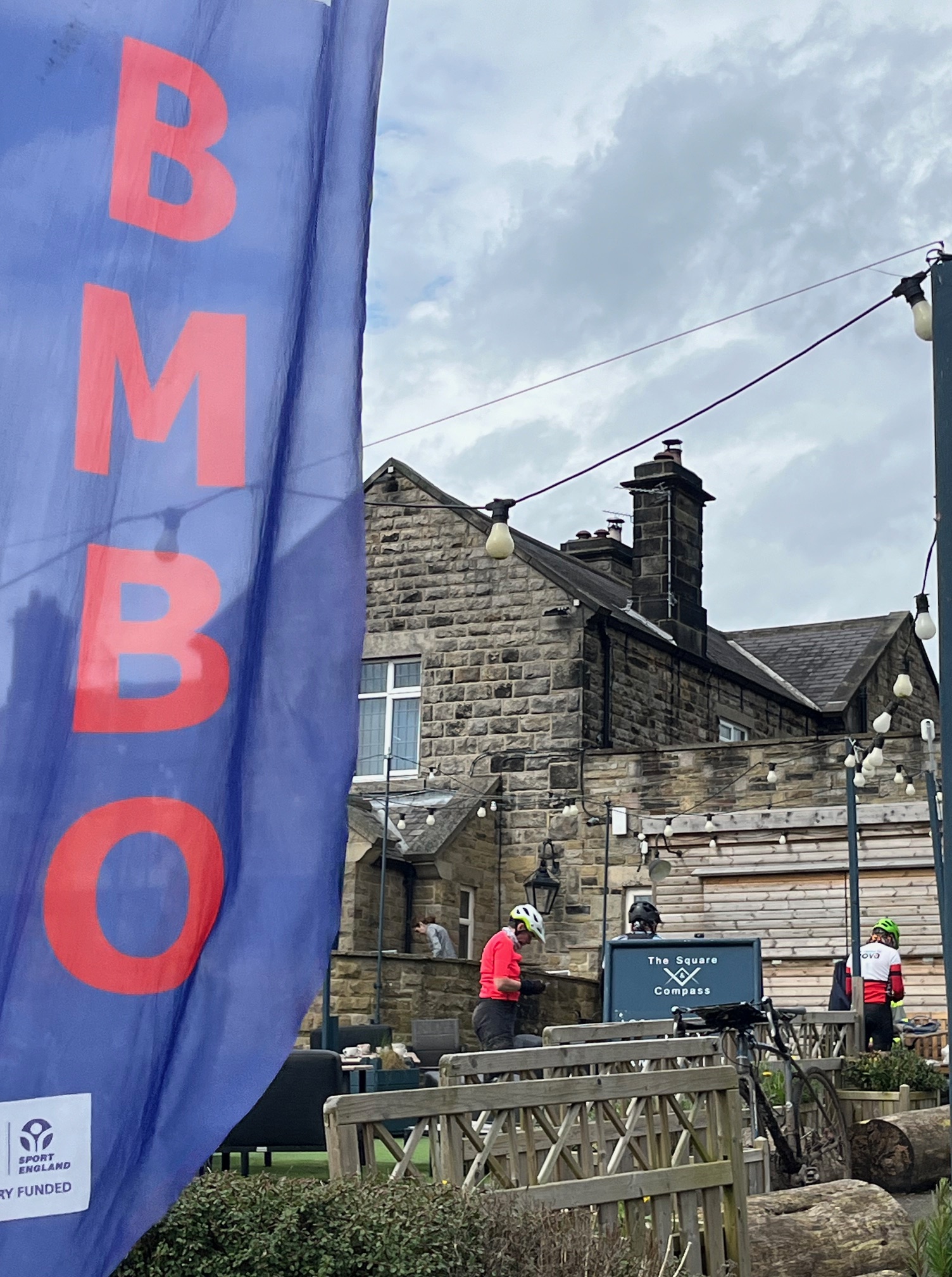
The MapRun course is now available to download at the usual location – the QR code is below. The start and finish locations are also shown on the photo.
It’s a 3 hour event with registration from 08:50 – 10:00 and starts between 09:15 – 10:15 and the course map is in the previous post
Parking – There is limited parking at the Square and Compass, LS17 0DJ, which is the start/finish. There is an additional small parking area behind the pub. PLEASE only park in the pub if you will eat or drink there – they will be busy at lunchtime. There is parking space on the road outside the pub by the primary school and the memorial hall. Please don’t obstruct entrances or get too near the road junction in the village.
Registration – outside the pub door if fine or in the pub if wet.
Toilets – there are toilets in the pub which should be open from 9.00. No muddy shoes/boots in the pub.
Food – the pub has an extensive menu. There is no need to order food in advance, but likely pre-ordering at registration
MapRun – if you’re using the MapRun app on your phone make sure it’s MapRun7, and don’t forget to download the event in advance (folder is UK:North Yorkshire:NYMBO: North Rigton) – updated FAQ here. The MapRun map is the competition map but the resolution is not as good as the printed map, although all the controls are (I hope) in the right place. They have all been checked for accuracy.
Start/Finish – You can register from 0850-1000 and start from 0915-1015. The time limit is 3 hours with the usual penalties. There are no pre-assigned start times; first come, first served. At the start you will get a printed map with all the controls and descriptions on. The start is the road junction in North Rigton, but as we have set the control range at 30m, it is likely to start you as soon as you tap ‘go to start’. So, when told to start, and not before, tap ‘Go To Start’ on MapRun and it should bleep when the GPS finds you at the start. You will be timed from that point. The finish is at the N end of the pub car park. Please then report back to registration to confirm your finish: in the pub garden or in the pub if wet. I cannot see why anyone would cycle back past the start until they want to finish, but if you do MapRun may end your run. You can restart by ‘Go To Start” and it will record this as a separate run. We will make adjustments at the end if anything goes wrong. A Strava track of your route would be good evidence!
Course map – the blank course map is here. The main map is 1:40000, adapted from the 50000 OS and 300x280mm. It is marked with the usual 30 controls with points values between 5 and 30.
Safety – this event has some very busy roads. These are clearly shown on the map in blue. We urge you to wear a bright top, use lights and take great care. An unmanned, unsignalled level crossing has been marked as out of bounds for safety reasons – do not use this bridleway.
You must report to the finish. There is an emergency contact number on the map.
Terrain – It’s hilly. The rideability of the bridleways is shown on the map – see the legend – but these are very weather and ride dependent. There is one short footpath at the E end of Danefield which you can use, but you must give way to any walkers you come across.