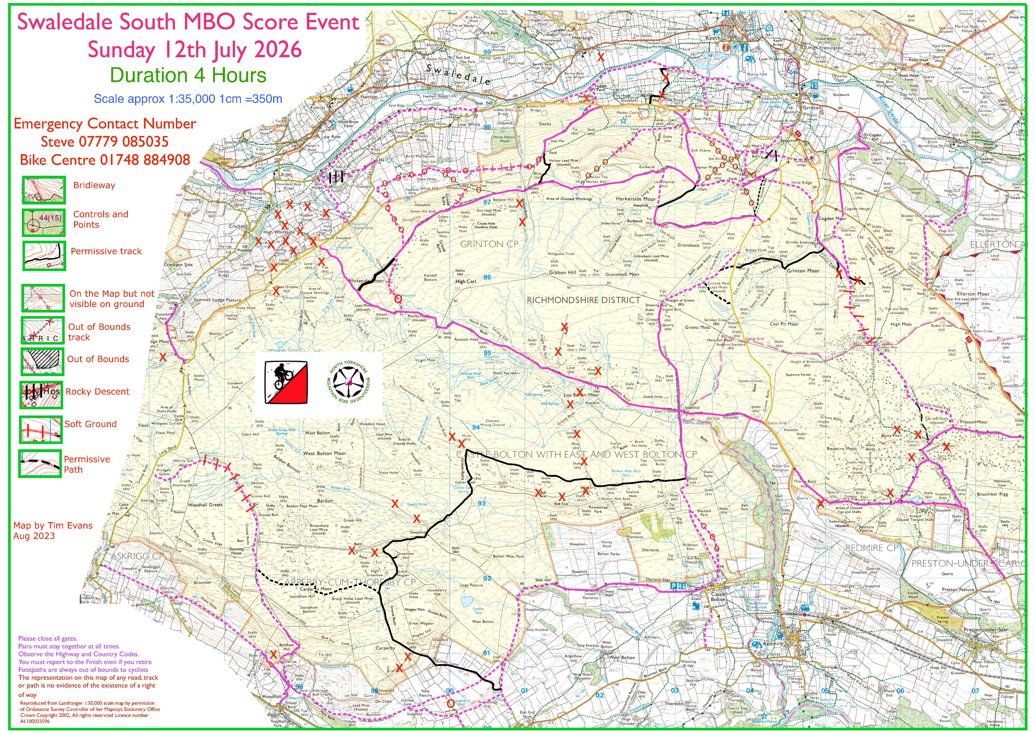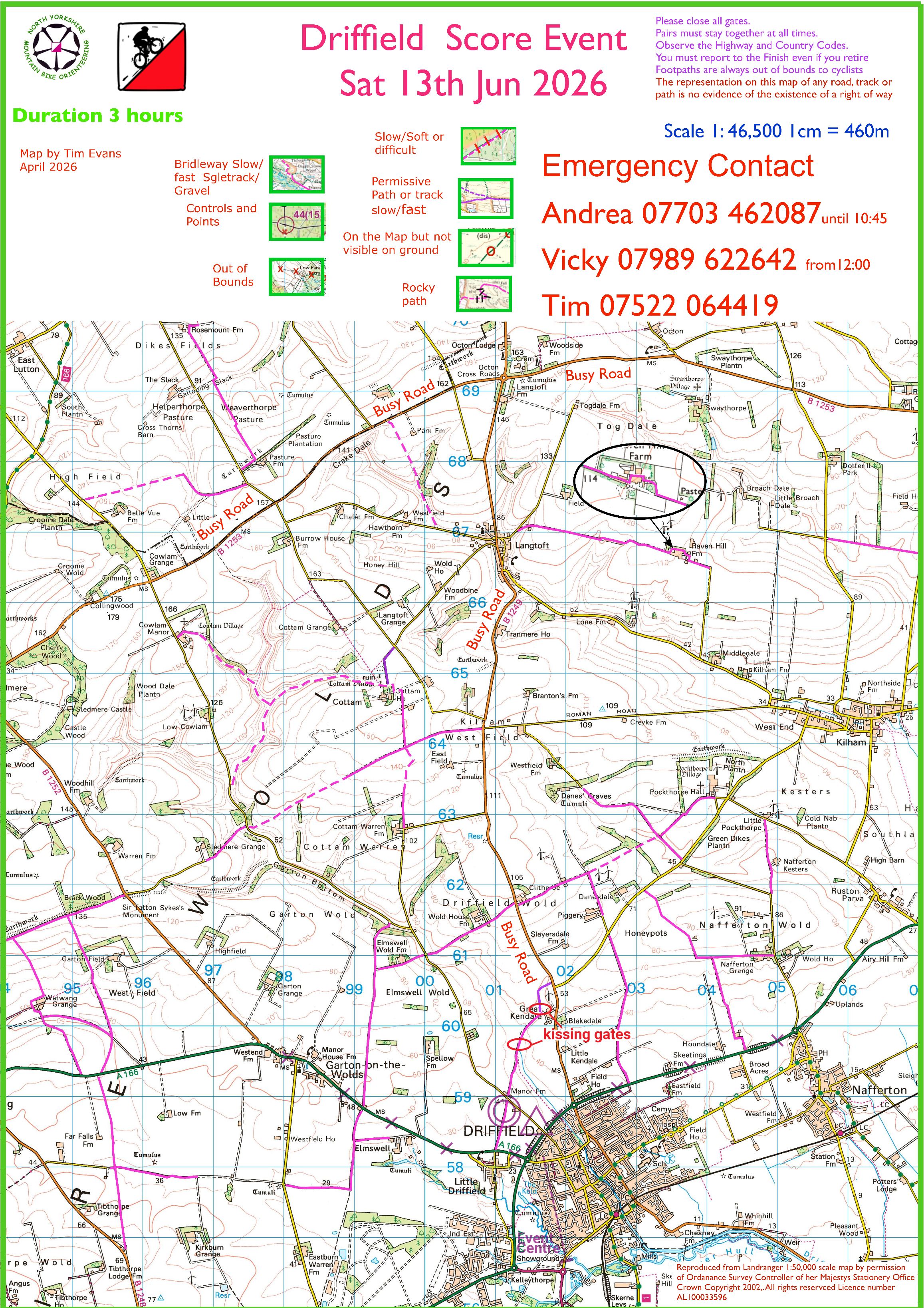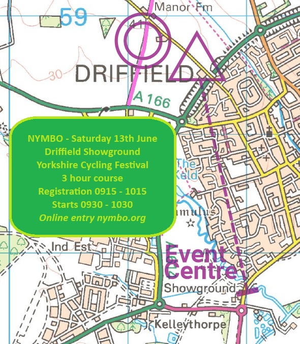
Steve Willis planned an excellent weekend with 2 great events, here’s his report and the results. As always please get in touch with any comments or results corrections.
Saturday Report
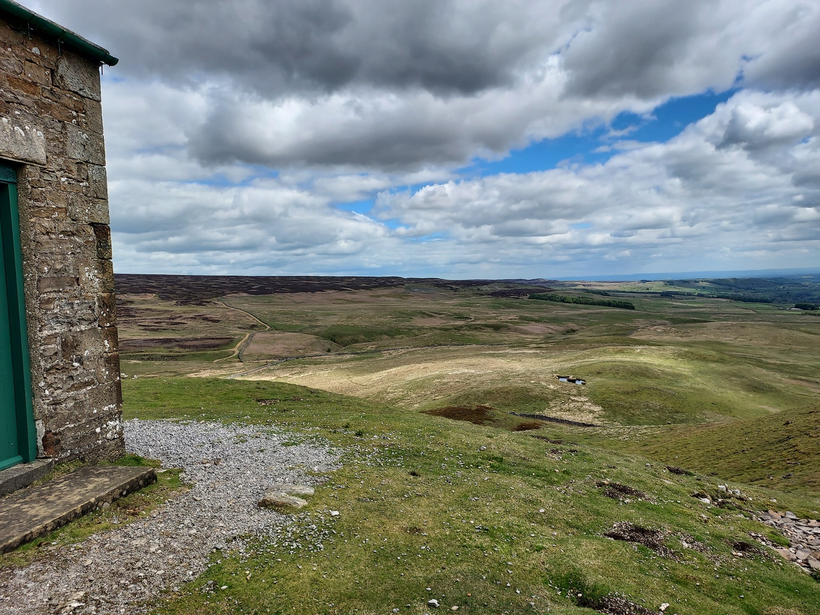
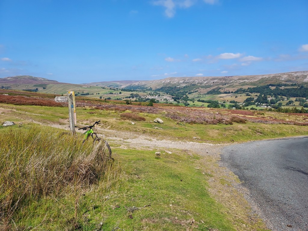
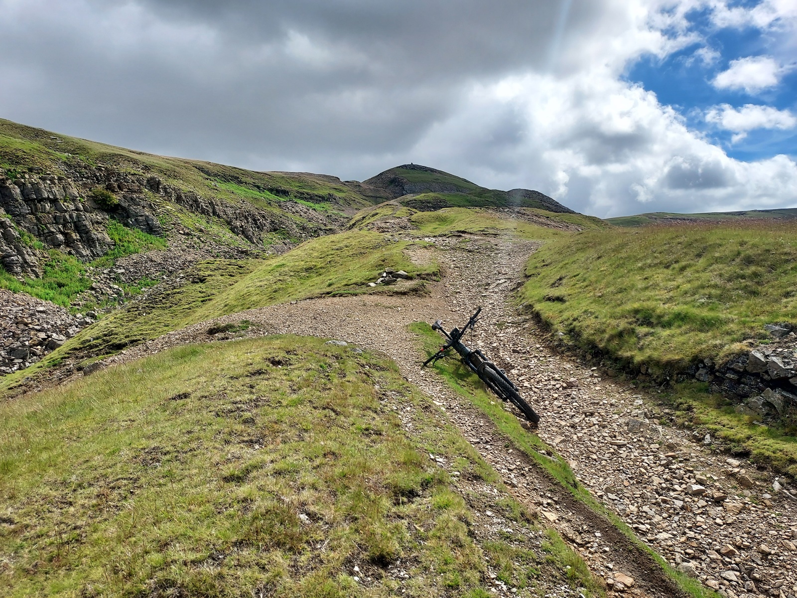
Everyone came back safely despite a few mechanicals. It was a tough day with lots of climbing but plenty of route choice and not too hot.
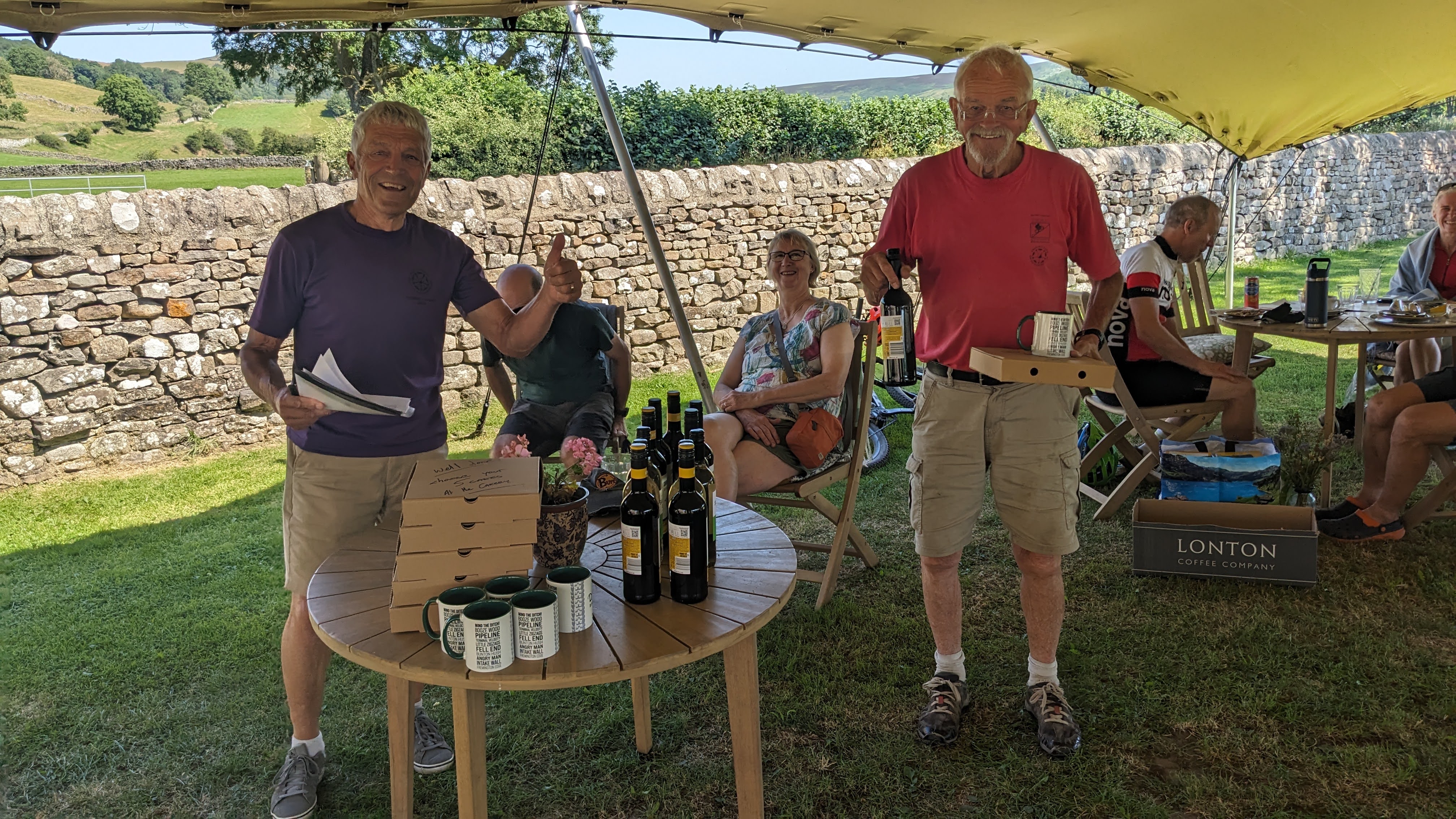
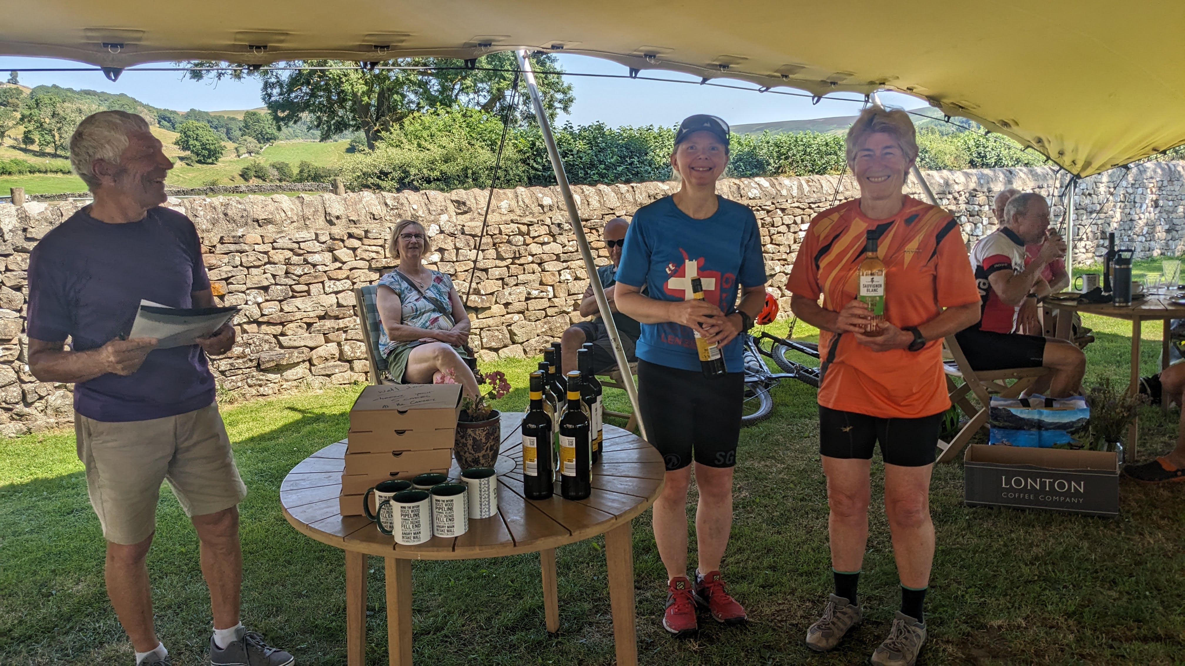
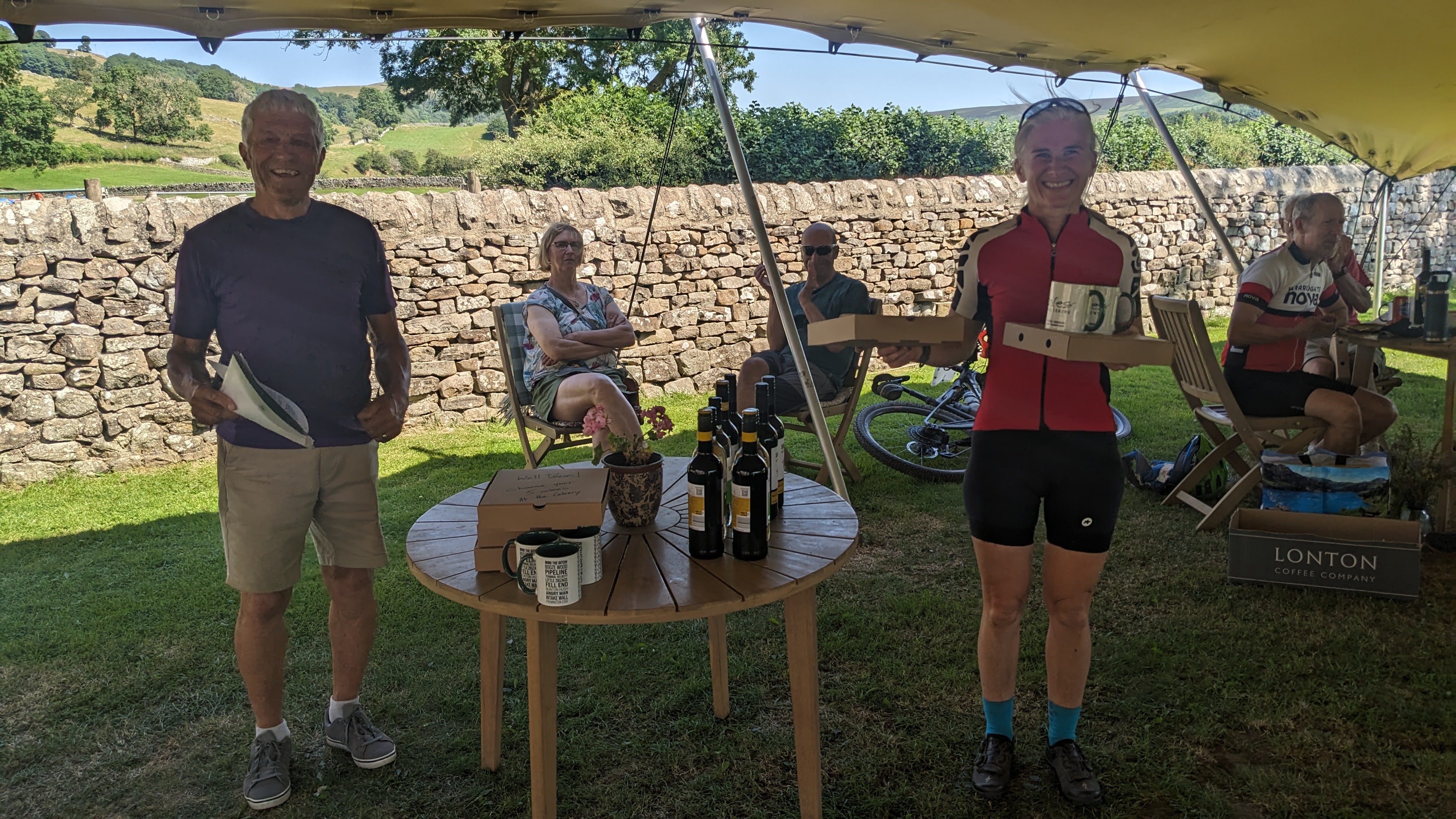
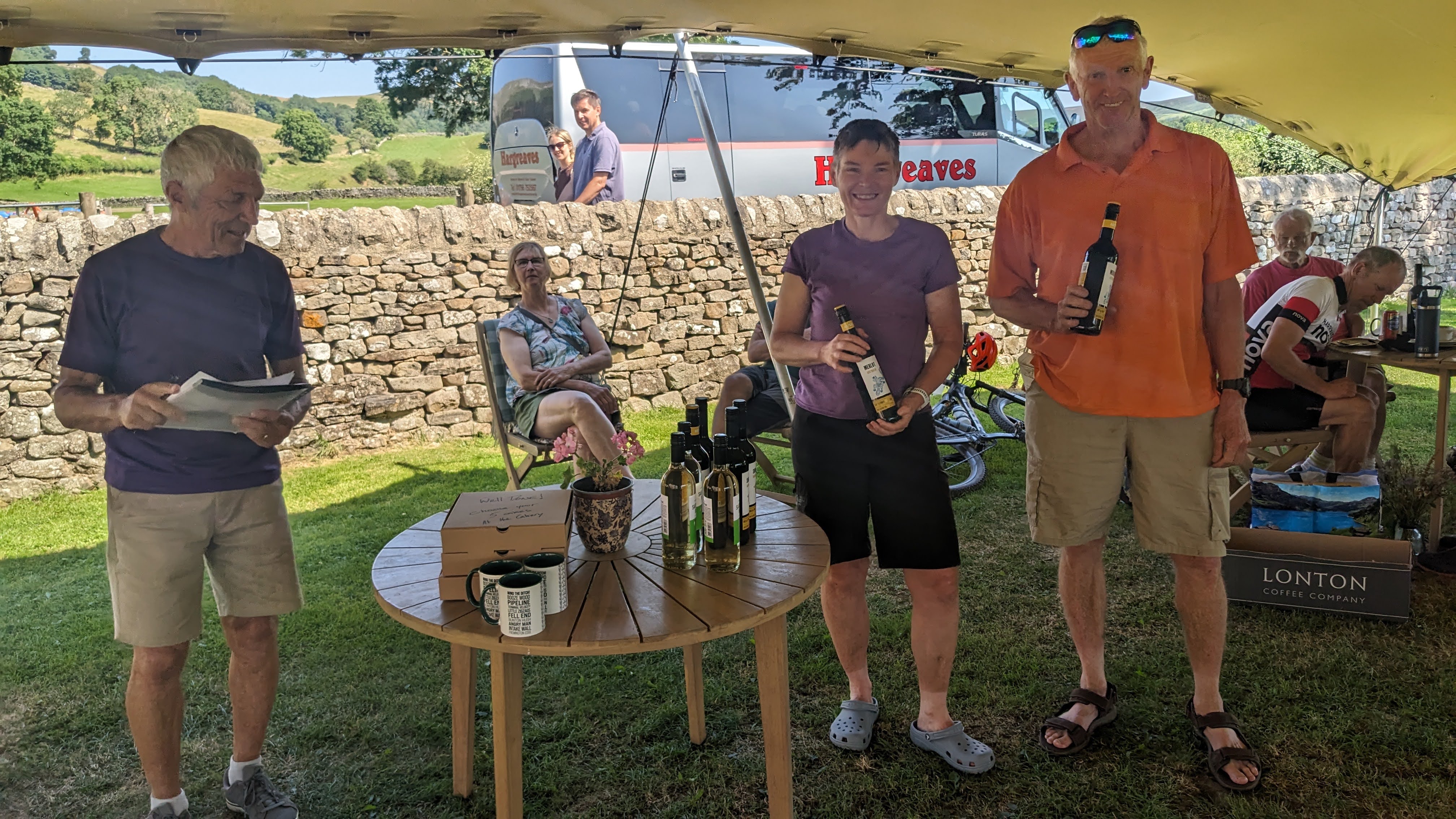
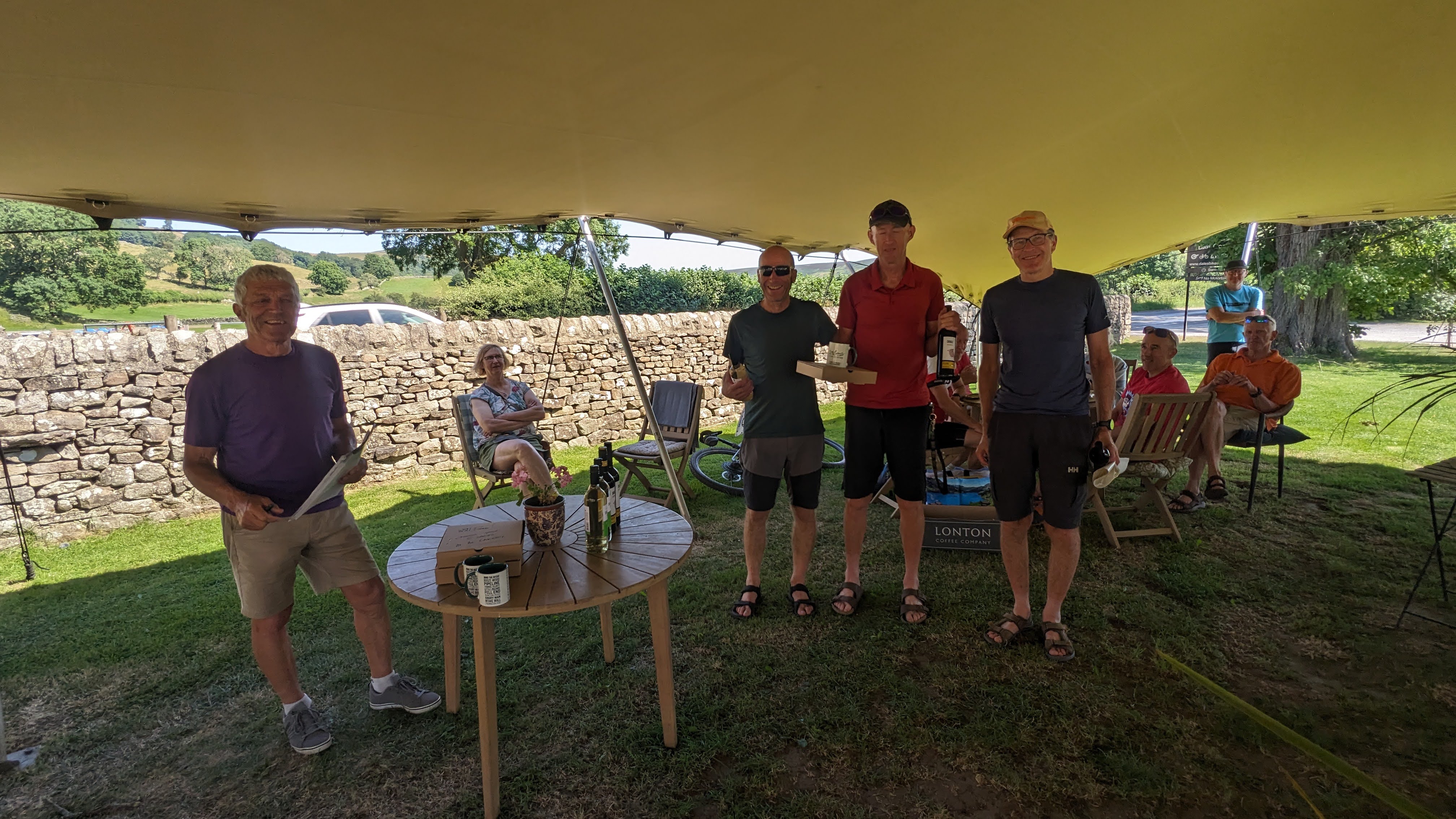
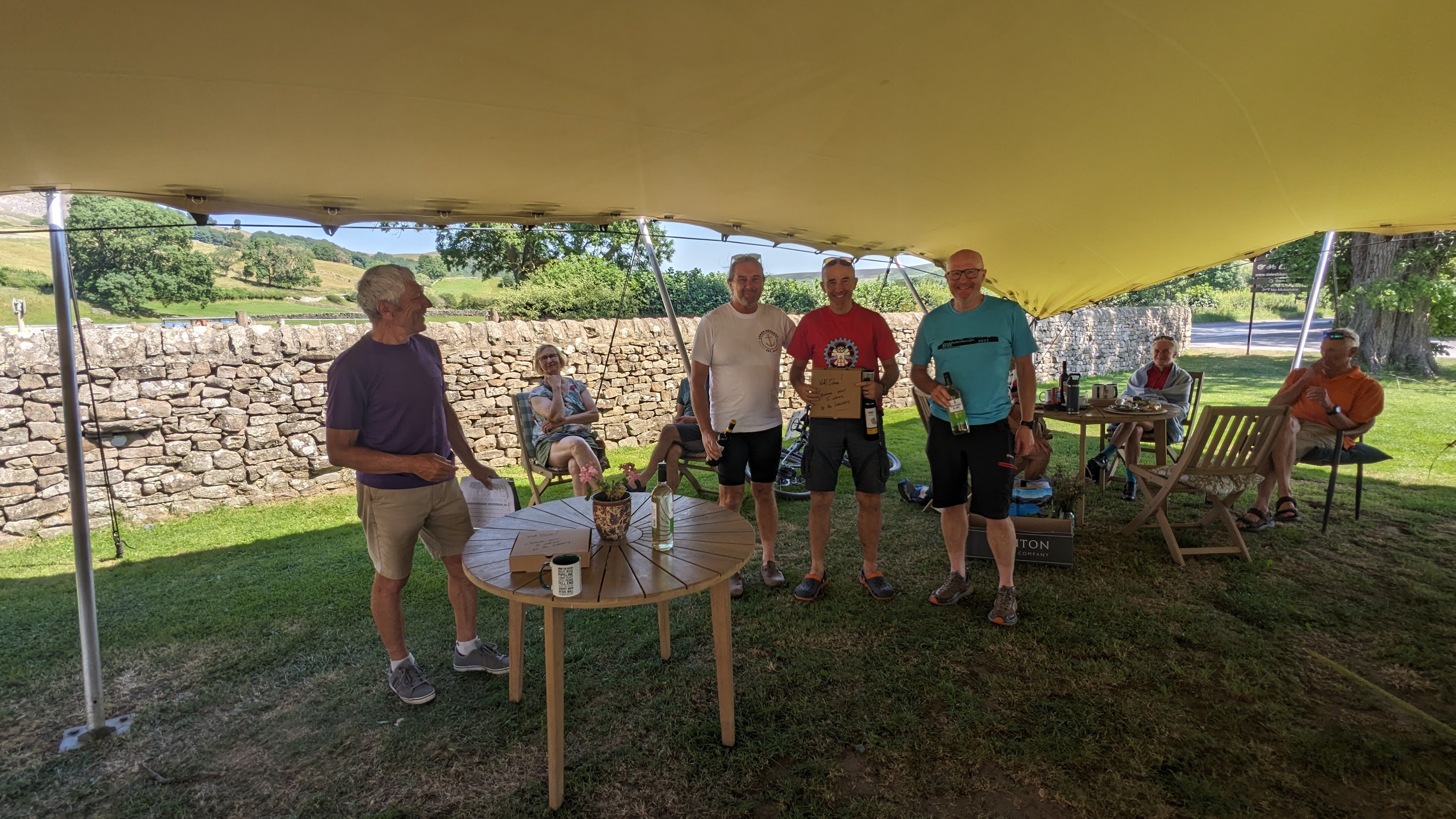
It was close between Tom Gibbs and Andy Conn who were only 12 points apart while leading M50 and M60 respectively very comfortably. Si Gittings had a 1 point lead over James Chilcott while Sue Booth is the lady to beat tomorrow. Mike Hayward has 50 points more than Sheila Pearce in the ebike category
There were some dodgy looking routes which I’ve checked on Maprun but can now appreciate that it was just some confusing terrain and careless map reading – nobody was trying to find short cuts so no points reductions.
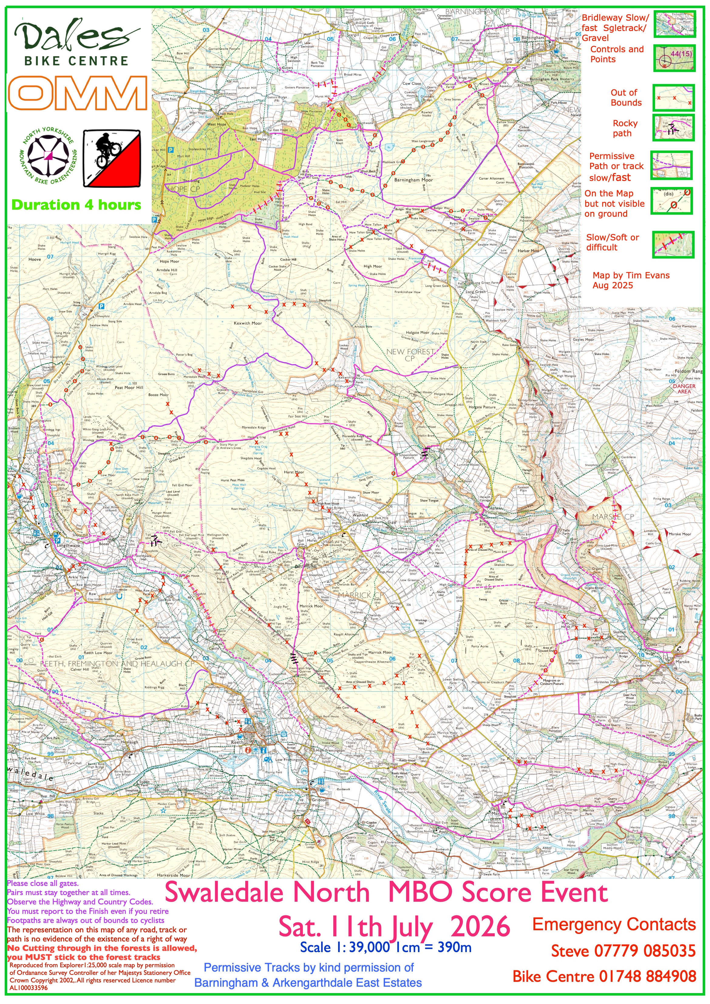
I hadn’t anticipated 9 riders using the road to Langthwaite to avoid the climb up Fremington Edge so you may find a control on that awkward bridleway by the river next time. A few riders got lost around Booze and the quarry in the top corner of the Stang Forest caused problems. (Kudos to Bob Cherry who made it down the toughest bridleway on the map down the edge of the forest and still had the 3rd best score on the day). I was intrigued with Michael & Tim’s route between 25 & 18 and impressed with Sion’s ability to follow the designated bridleway between 25 and 29. (I’ve never been brave enough to try).
Thanks to Will Morris and Richard Coates (the Barningham and Arkengarthdale keepers) for welcoming us and allowing us to use their private estate tracks – some of them for the first time! (I wonder if we will still be allowed to use them in future if the Hope Windfarm goes ahead)!!
Thanks also to Tim for an excellent map and his guidance during the planning process. As well as Stuart and Brenda at the brilliant DBC plus Clare Brown for allowing us to camp and park in her hay meadow.
Sunday Report
Tom Gibbs cleared up in just over 4 hours to win overall and top M50. Sue Booth rode well again to finish as the top scoring lady. Andy Conn was 2nd but top M60, David Day won M70 while Claire & David were the top mixed pair. Congratulations to Chris Goodwin who scored 410 points at his first event riding with his dad. Mike Hayward and Sheila Pearce both scored well again in the ebike category. The combined scores are on the News page.
I thoroughly enjoyed checking all of these bridleways again earlier this summer as it’s such a beautiful area, Thanks for the positive comments when you finished despite some more dodgy route choices. Preston Moor caused problems again this time and I’ve reported the ‘footpath’ sign on the bridleway south of #24 which is confusing. Unfortunately we’ve had to deduct points from 3 riders for using tracks which were clearly marked as out of bounds at #13 and #3 as well as one rider who went off the map to get to #21.
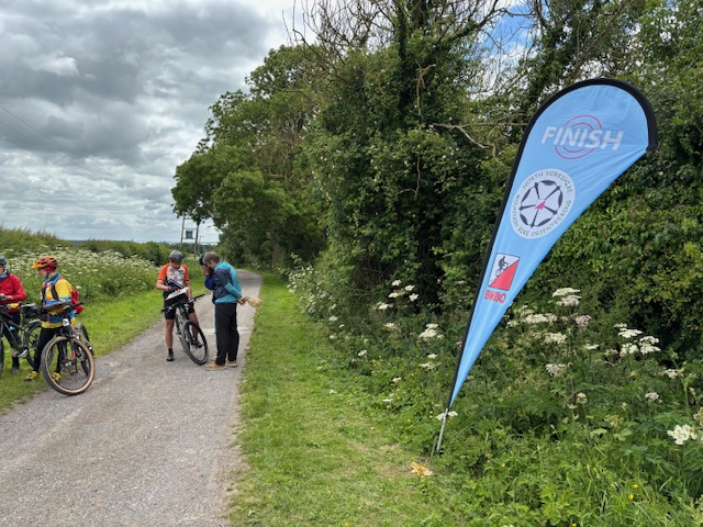
Thanks to the keepers on Grinton, Bolton and Preston Moors keepers for welcoming us while using the public bridleways and allowing us to use their private estate tracks. Thanks again to the Dales Bike Centre for making us welcome and providing excellent refreshments and prizes.
Hope to see you at another NYMBO event this year.