Tag Archives: Blank map

Map published without controls

Next event: Riddlesden Saturday 1st April 2023 – course map & event details

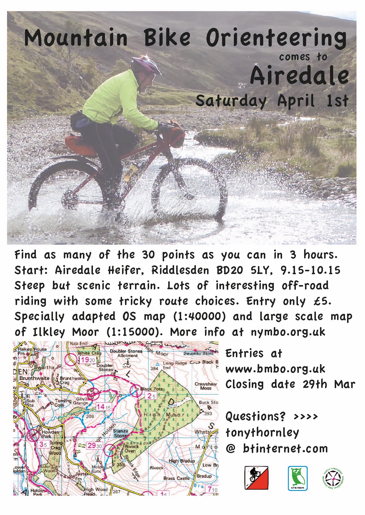
Our next event is on April 1st (this is not an April Fool!) – Tony has done an excellent preparing for this event, so there are comprehensive event details below.

This event will be using manual entry (hopefully online entry will be working for the following event) so please reserve your map and advance food order here, and then pay by bank transfer or with the correct cash on the day. Entry Form


Parking – There is good parking at the Airedale Heifer BD20 5LY which is the start/finish. However the pub gets busy at lunchtime and if you are not intending to eat at the pub and are likely to finish after 1230 please park on the road outside the pub. This is quite busy, but is wide and has extensive car spaces on the North side of the road. Take care when crossing!

Toilets – there are toilets in the pub which should be open from just before 9.00. Please don’t wear muddy shoes/boots in the pub.

Food – the pub has an extensive menu (see below) There is no need to order food in advance, but if you let me know when registering that you intend to eat, I will let Susie know.

MapRun –  if you’re using the MapRun app on your phone make sure it’s MapRun6, and don’t forget to download the event in advance (folder is UK:North Yorkshire:NYMBO: RIddlesden) – updated FAQ here.The MapRun map is the competition map but the resolution is not as good as the printed map, although all the controls are in the right place. They have all been checked for accuracy, but if you go past them at very high speed they may not register.

Start/Finish – You can register from 0850-1000 and start from 0915-1015. The time limit is 3 hours with the usual penalties. There are no pre-assigned start times; first come, first served. At the start you will get a printed map with all the controls and descriptions on. The start is where the pub tarmac joins the main road, but as we have set the control range at 30m, it is likely to start you as soon as you tap ‘go to start’. So, when told to start, and not before, tap ‘Go To Start’ on MapRun and it should bleep when the GPS finds you at the start. You will be timed from that point. The finish is in the car park. I cannot see why anyone would cycle back past the start until they want to finish, but if you do MapRun is quite likely to end your run. We will try to make adjustments at the end if anything goes wrong. A Strava track of your route would be good evidence and can be uploaded to MapRun manually.

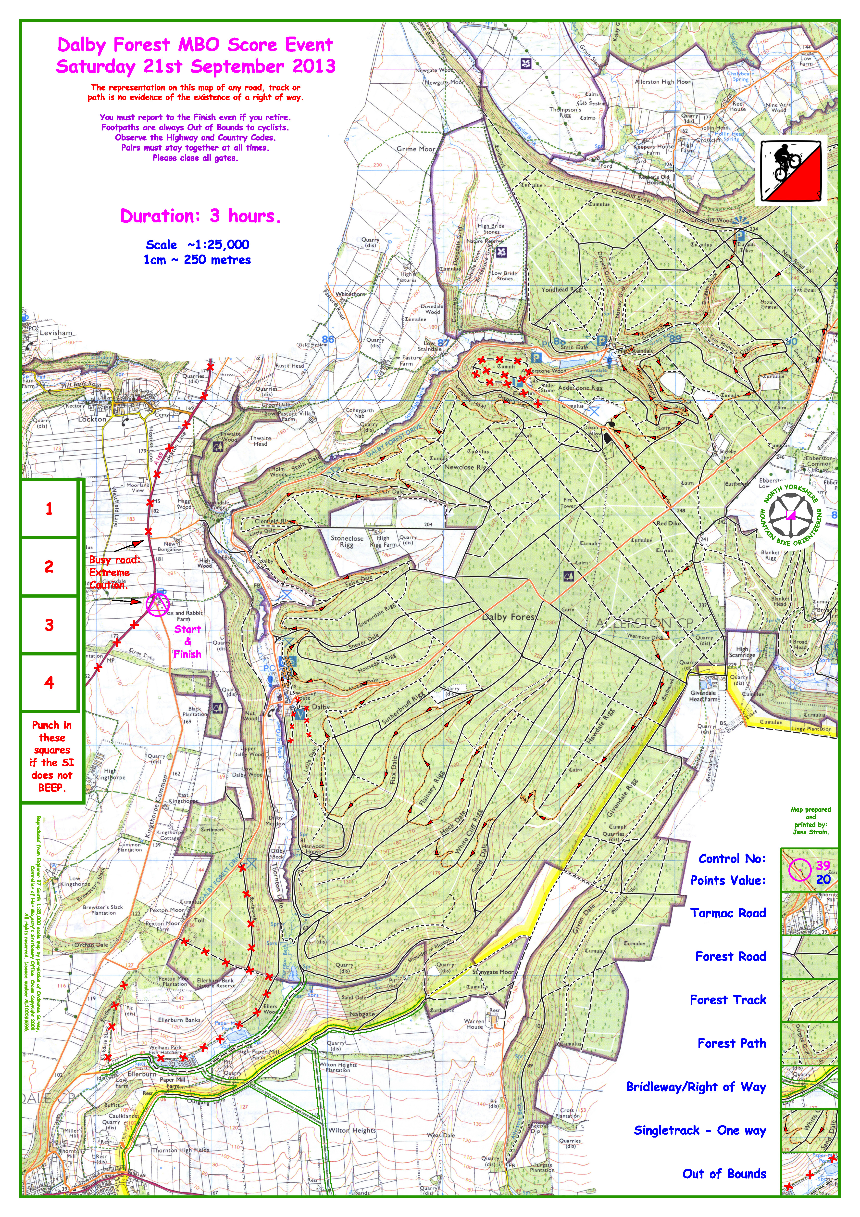
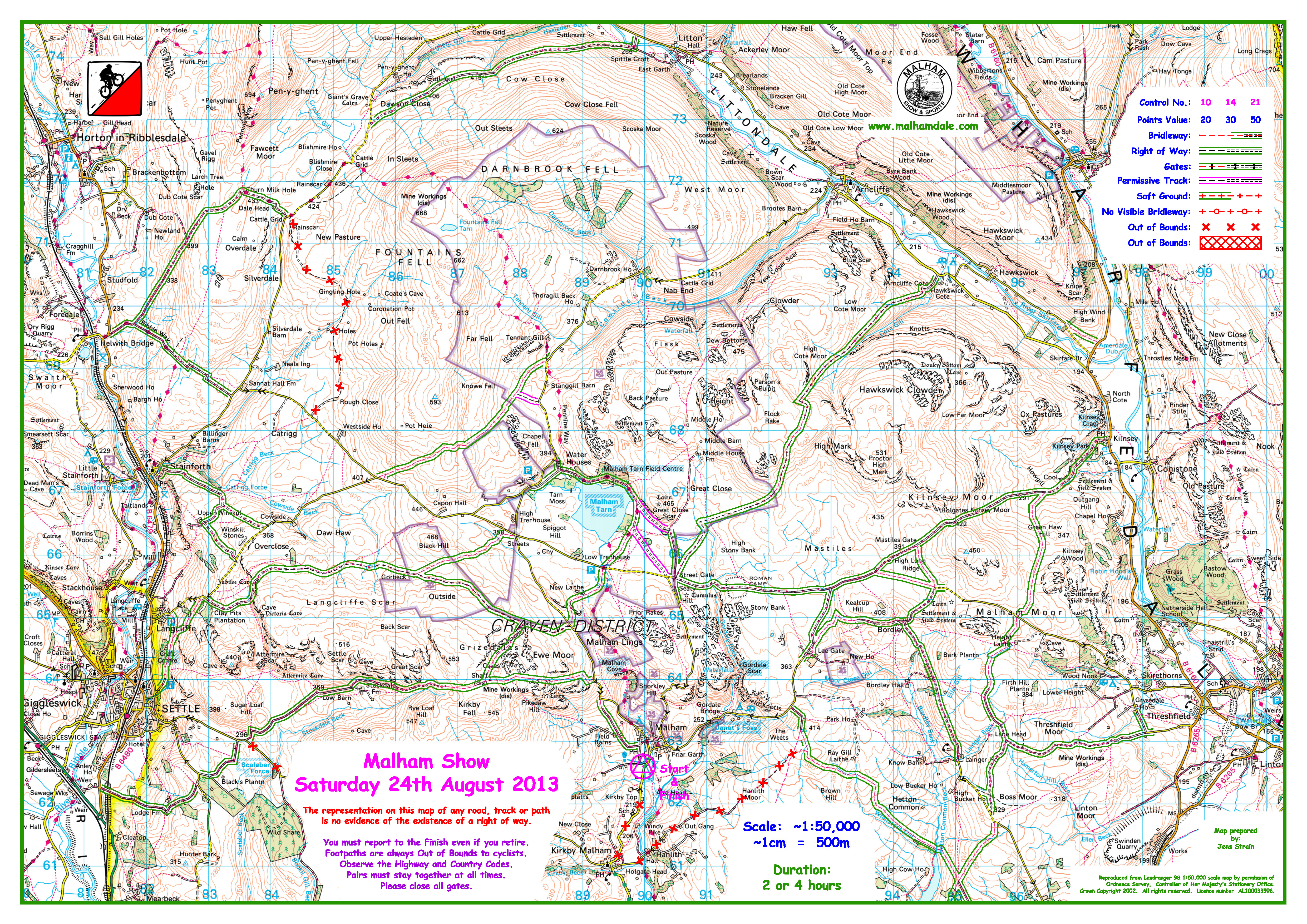
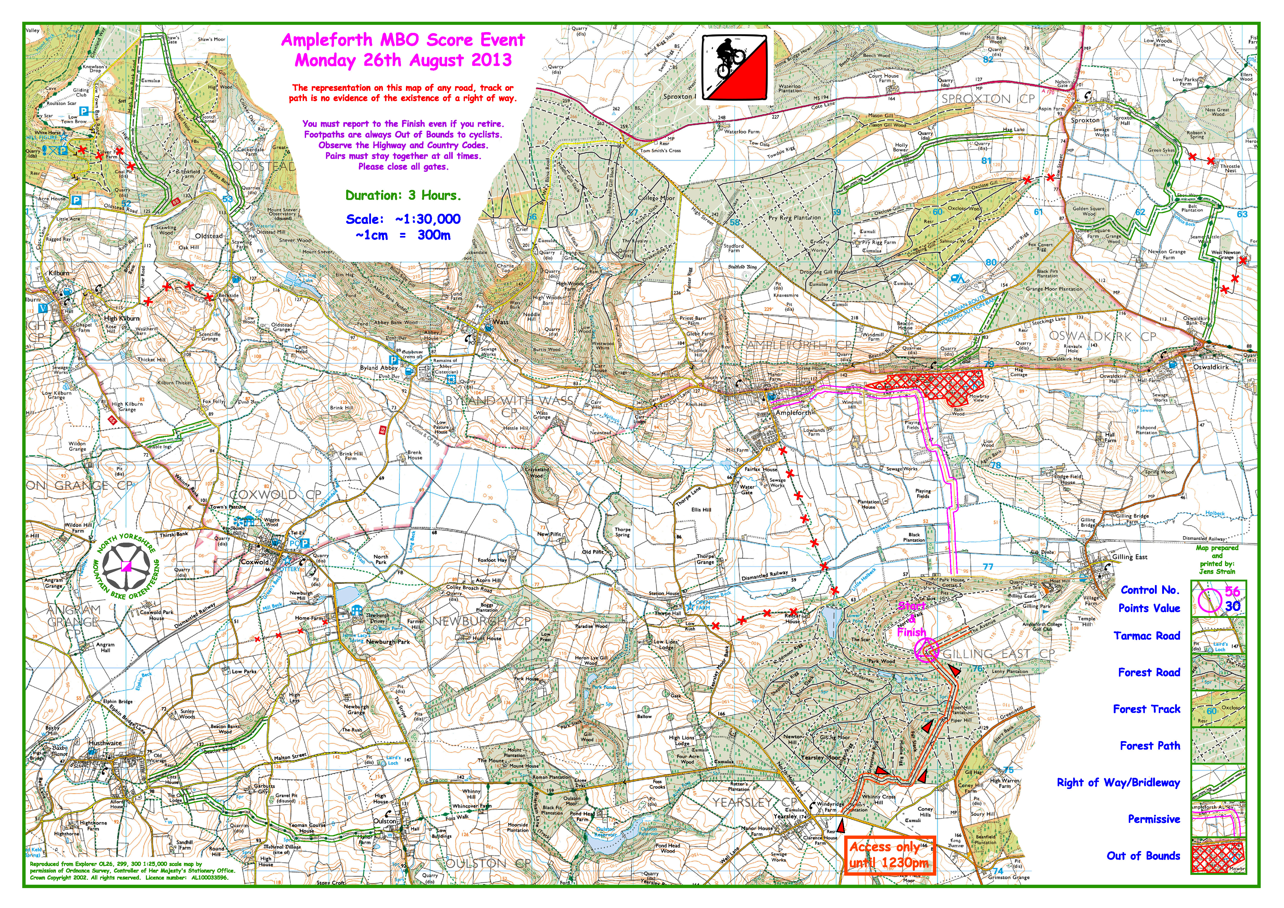
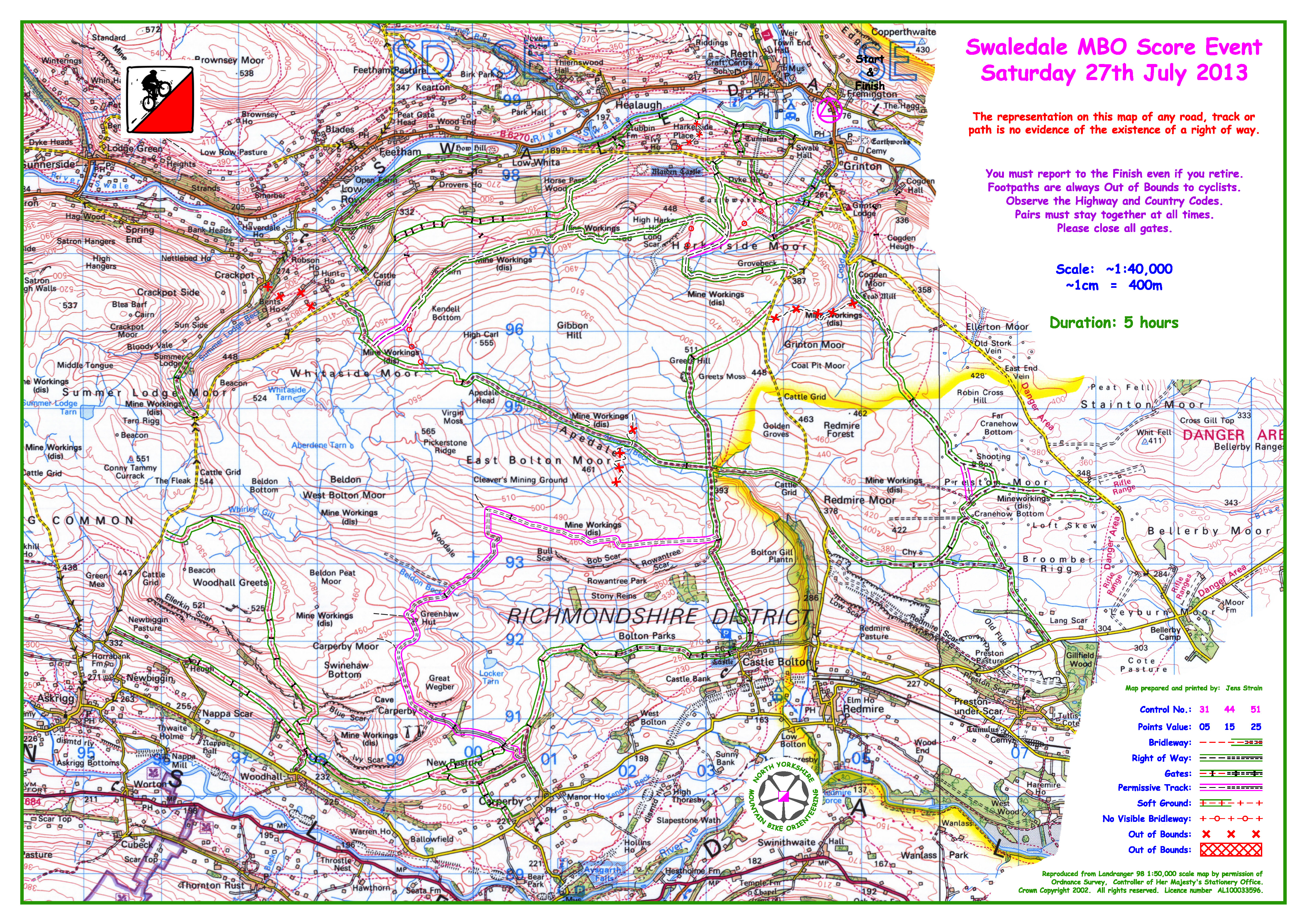
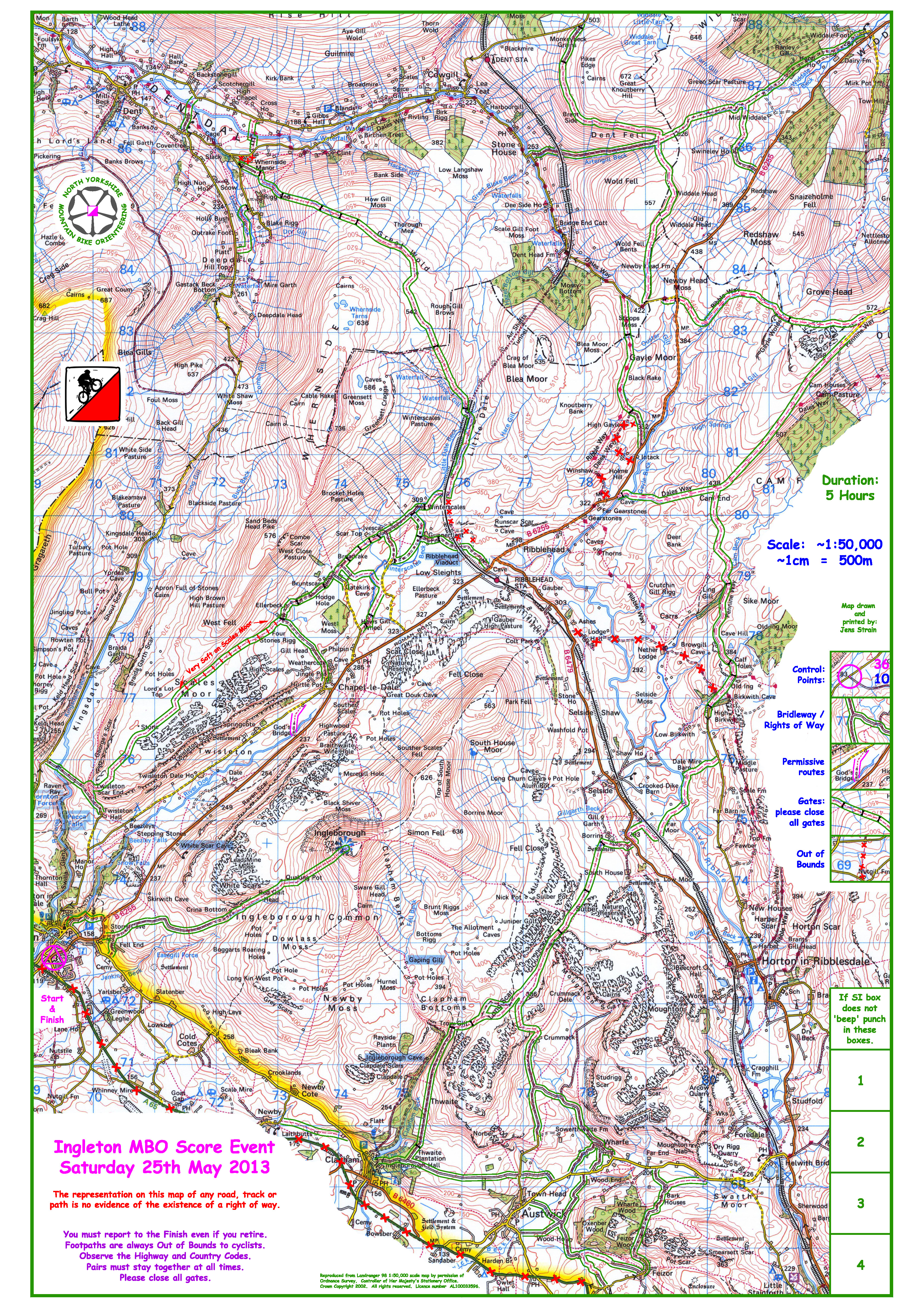
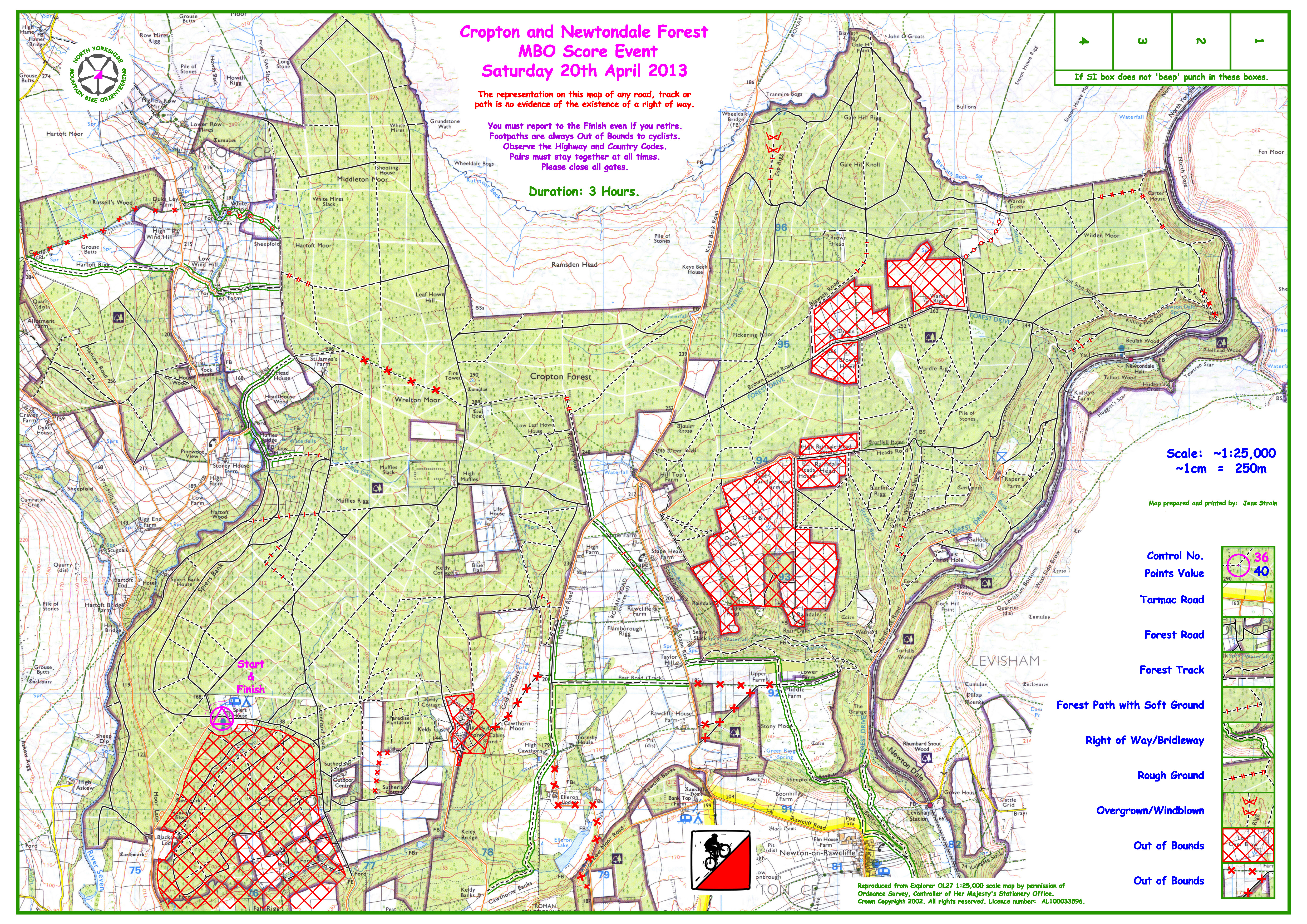
Course map – the blank course maps are below (Full map, Ilkley Moor map). The main map is 1:40000, adapted from the 50000 OS and 290x255mm. It is marked with the usual 30 controls with points values between 5 and 30. Unusually we are also providing a separate, large scale (1:15000) map of Ilkley Moor which those of you who choose to visit the wilds of Wharfedale may find useful.

Safety – this event has more busy roads than the usual NYMBO event. These are clearly shown on the map, with the AIRE valley relief road marked as out of bounds. We urge you to take great care:

• On leaving the start and returning to the finish

• At road junctions.

• On the Leeds-Liverpool canal towpath. There are likely to be many pedestrians and dogs who have priority. Please bring and use a bell.

• If the weather is poor carry/wear a good outer layer. Some controls are 300-400m up on exposed moorland.

You must report to the finish. There is an emergency contact number on the map.

Terrain – It’s hilly. The rideability of the bridleways is mostly ok and is shown on the map – see the legend – but these are very weather and ride dependent. You can go anywhere on Ilkley Moor, but it is boggy in some places and navigation can be tricky. Please give way to any walkers you come across.

Blank course map
Ilkley Moor Map Insert

Ingleton blank map now available

Here are the details for Ingleton and the blank map.

VENUE GR 695 726 The i Centre, Ingleton LA6 3BU 800m north of the A65 at Ingleton
FACILITIES Registration, toilets and refreshments in the hall
COURSES 5 hour SCORE event (with a 3 hour option for NOVICES)
REGISTER 9.30 – 10.45 STARTS 10.00 – 11.00


Ingleton Blank Map

Ingleton Blank Map

Masham Moors Map now available

Just 5 days to go until the final NYMBO League event of 2013. Online entry closes on Wednesday and can be done here. Entry on the day is also available, but it would help if you email Steve so we print enough maps.

Don’t forget that this event starts earlier than usual between 10.00 and 11.00am
There is no slip road to Masham from the upgraded A1(M) so please leave the A1 at Leeming Bar from the north or the A61 from the south.
Please park in the square which is 400m south of the A6108 Ripon to Leyburn road and pay 50p in the honesty box for parking in the square.
Registration is in the Methodist Chapel on nearby Park Street where refreshments will be on sale before and after your ride.
This is the last event in the National (BMBO) and Regional (NYMBO) leagues so please stay for the prizegiving at 3.30 to congratulate the category winners.
Will all 2012 BMBO champions please make sure that their trophies are returned at or before the event?

Planner’s Comments
Masham Moors is a varied area – there are some farm lanes and minor roads, some exposed moorland bridleways – make sure that you come equipped for North Yorkshire weather in October. Expect a few hills in the south and west side of the map.
The A6108 passes through the area, control location does not encourage competitors to make much use of it but be aware that it is the busiest road on the map. It is however wide and has mainly good visibility.
The bridleway to the west of Slipstone Crags in Colsterdale has been deeply eroded by motorcycles and water, be prepared to walk if using the worst section – marked on the map with black lines across the bridleway; there is a route choice which avoids this damaged section. Also in Colsterdale there is a ford at Gollinglith Foot – if river levels are high, a footbridge to the south would be a safe crossing point.

Here’s the map without controls for you to look at – click on the map to get the full image.

2013 Masham 50000 Working Drawing without Controls 12th October

Dalby Forest Map now available – enter online by Wednesday

Here’s the Dalby Forest map without controls for this weekend’s event. Weather forecast for the weekend at the moment looks dry – so that’s good for both the MBO and the Moors Marathon on Sunday. Entry for both closes Wednesday, and the map for the marathon and details are published below.

Dalby Forest Entry

Moors Marathon Entry

Click on the image below to download the Dalby map.

2013 Dalby 25000 Working Drawing without Controls

Bank Holiday event maps without controls now available (Malham & Ampleforth)

As it’s the holiday season and there are two events over the Bank Holiday weekend we’re making the maps available a bit earlier than usual. This should give you a chance to study the two areas and make sure you’ve got your entry done in plenty of time!

Malham Show

You can further details about the show and biking details here. Entry is on the BMBO site as usual, with online entries required by Monday 19th August – you can enter here.

The map for the event is here:

2013 Malham 50000 Working Drawing without Controls 5th August

Malham Show Blank Map

A flier for the event can be found here.

Ampleforth

This is the final event of Eborienteers White Rose weekend so orienteering events, camping and catering available all weekend. Check out the Ebor web page for further details.
Please note the specific access arrangements for this event, as shown on the map.

Parking is at the White Rose event centre near Gilling Castle but do NOT approach from Gilling East. Follow the White Rose signs through Gilling Woods from the minor road east of Yearsley village at GR591746. You must arrive at the parking area before 12.30 when the orienteers will start to leave. If you arrive after 12.30 please park your car outside Gilling Woods and ride to registration which is open until 12.45.

Here’s the map:

2013 Ampleforth 30000 Working Drawing showing Access

Ampleforth map without controls

A flier for the event can be found here.

Swaledale map without controls now available

The next NYMBO league event is on Saturday at Swaledale starting at the Dales Bike Centre near Reeth, where you can ride on excellent tracks in beautiful Dales scenery south of the River Swale for 5 hours. I’m looking forward to putting out the controls with a bit of help from my friends on Friday. Parking is again in the field just over the bridge at Grinton where you are welcome to stay on Friday and Saturday night free of charge – but please pay the Bridge Inn visit for a drink and/or a meal! Registration is at the Dales Bike Centre where there is a cafe, shop and bike wash – as well as bunkhouse accommodation – details on their website at www.dalesmountainbiking.co.uk.

Please enter online on the BMBO by Wednesday evening so that we print enough maps.

Here’s the map of next weekend’s event (without the controls) to give you an idea of the terrain and where the start/finish is. It’s a big file so may take a little time to download when you click on the picture.

2013 Swaledale Map

2013 Swaledale Map

Also, on Thursday 25th July – there’s a social ride at Hovingham, starting at the Malt Shovel pub. We aim to set off riding at 630pm. We’ll be using the maps from recent events and this could be a way to warm up your legs for the event at the weekend. Further details about the social rides on the website – please let me know if you intend to come along so we print enough maps.

Hambleton Hills maps without controls now available

Here’s the map of next weekend’s event without the controls to give you an idea of the terrain and where the start/finish is. We’d welcome any feedback on whether you like this feature, please either on this post or talk to Steve at the event.

It’s a big file so may take a little time to download when you click on the picture.

2013 Boltby and Thirlby without Controls

2013 Boltby and Thirlby without Controls

Ingleton Map without controls now available

2013 Ingleton 50000 without ControlsHere’s the map of next weekend’s event without the controls to give you an idea of the terrain and where the start/finish is. We’d welcome any feedback on whether you like this feature, please either on this post or talk to Steve at the event.

Graham Fielding has planned an excellent course using less of the area south of Ingleton than last year and more of the Pennine Bridleway. Registration has been moved to Ingleton Middle School which is only 150m from the Junior school with parking still on the nearby roads and very close to a brand new, excellent bakery 

It’s a big file so may take a little time to download when you click on the picture.