Here’s the map without controls for next weekend for you to peruse. At least it should be here, lets hope it’s worked properly unlike last month.
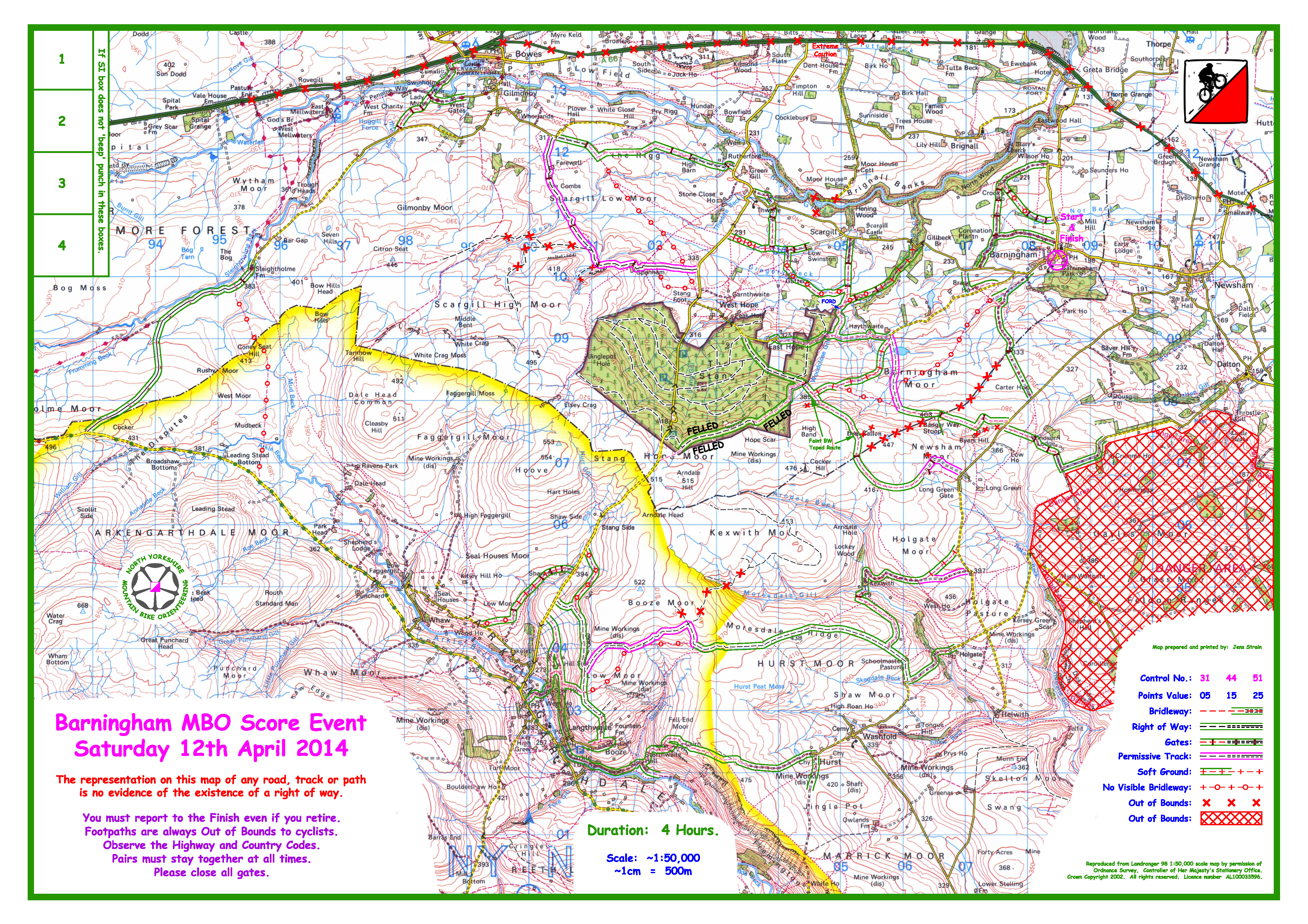

Here’s the map without controls for next weekend for you to peruse. At least it should be here, lets hope it’s worked properly unlike last month.
Every year we like to support the hard work of the Scarborough and Ryedale Mountain Rescue Team. One of their fundraising events is a half marathon – here’s some information from Tony Heap if you want to take part. Links to fliers included at the end.
Just to let you and your fellow bikers know that this years Ravenscar Coastal Half Marathon organised by the Scarborough and Ryedale Mountain Rescue Team is Sunday 11th May 2014, in the past we have had a number of runners from the wider umbrella of clubs entering the event on a sporadic bases which has been a great support, so I have attached the entry form and poster, everything same as last year (still £10 pre entry), you may be interested to know the local Mountain Rescue team Organises this event as a fundraisers so it’s a relaxed low key affair, but it might be of interest to your bikers as something different. It certainly not a fell race but as the height gain and loss over the 13.1miles is 1100 it’s a nice undulating run mainly on coastal footpaths, so some of your bikers may fancy a different challenge that will work some different muscles and all the £10 goes straight to the Mountain Rescue Team.
It was our busiest callout year last year, that has 2 impacts on the Team, firstly we spend more money and 2nd we lost a lot of fundraising events actually doing callouts, so this fixture really help the team, so it would be really great if you could pass on to your runners or anyone you know who may be interested, we are good at search and rescue and quite a few mountain bikers, but complete novices at advertising so any help appreciated in spreading the word on the event which is in its 4th year but lacking in numbers (100 to 130 of last few years), so even just putting up the poster at one of your events would be a great help.
Thank you
Tony
Conrad and Jill have been hard at work planning the May event, here’s and update from them:
Jill and I have enjoying planning the event. We’ve hired Ingleby Greenhow village hall for the event centre so it’s a guaranteed downhill finish. We’ve put most of the Great Broughton to Chop Gate road (B1257) as out of bounds and all but one of the checkpoints is in the NYM National Park.
It’s given us chance to ride and walk bridleways we haven’t visited in ages over the likes of Urra and Cold Moor. Last weekend we did our last recce and the tracks were bone dry (will it last ?!!).
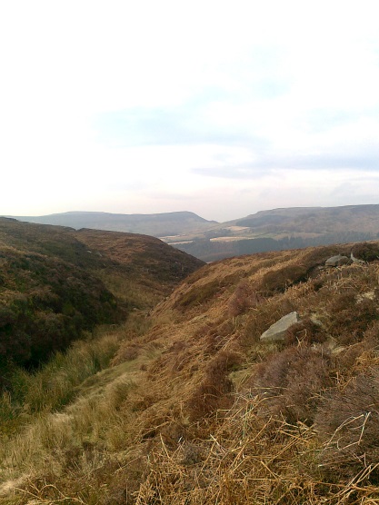
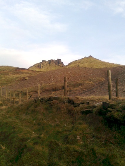
View from Urra Moor looking west towards Cold Moor and Cringle Moor
For those of you who can remember Richard Martin planned an event from Lordstones at the top of Carlton Bank a few years ago. The event will cover a similar area except we’re not going as far to the west as Richard did and covering a bit more to the east over Baysdale Moor.
Happy riding.
Jill and Conrad
You’ll find the results here:
http://nymbo.mountainbikeorienteering.org.uk/2014/01-WhiteHorse/
A great day with plenty of dry tracks, despite the strong headwind! Full report to follow shortly.
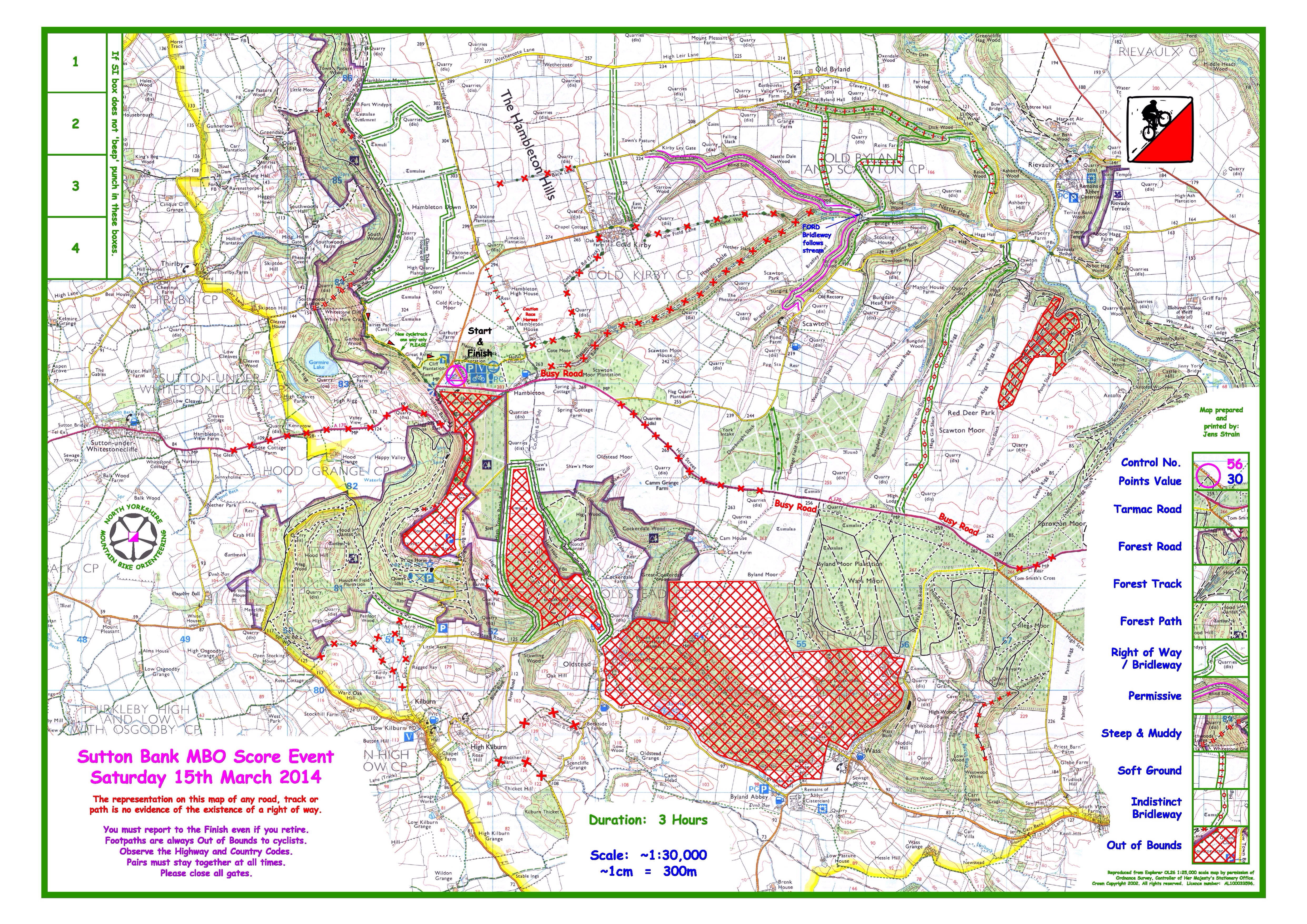
Our popular feature from last year is back! You can now check out the area map for Sutton Bank this weekend, without controls of course!
Fingers crossed for a good weather forecast and great riding conditions – there’s still time to enter if you haven’t yet!
With the NYMBO Winter Series finishing yesterday, we can now turn our attention to the weekend of events on 15th and 16th March that kick of the the 2014 league . Andy Parsons has been planning MBO at White Horse & Wass, and has sent in this update:
There is a new bike shop at the visitor centre run by Pace Cycles in partnership with the National Park centre. The Sutton Bank bike shop will be open all day and they have bikes available for hire if you need one – contact details and further info is on their (developing) website: www.suttonbankbikes.co.uk . The cycle shop also has bike wash facilities.
The Café and toilets at the visitor centre will also be open all day. The visitor centre has a “Lime and Ice” exhibition that you or accompanying non-cyclists can look around. There are also way-marked walks and excellent views off the escarpment.
The National Park is in the process of developing several new bike routes. These include some new bike specific trail building to link up existing bridleways and forest tracks. There will eventually be Red, Blue and Green routes. The Green (family) Cliff Trail route is already in place and the Blue will be opening in the Spring. We are including part of the new Cliff Trail route on the map as it gives a new route back to the centre from the Cleveland Way bridleway along the escarpment edge to the north. Please only cycle along the cycle routes in the signed direction.
The event map uses selected bridleways, forest tracks and minor roads to both north and south of the main A170 Thirsk to Helmsley road. This is a busy road with fast traffic so please be especially careful to look out for vehicles when crossing or using the road and I suggest that you wear some high-viz cycling gear. Some sections of the road will be marked as out of bounds for the event in order to keep cyclists to the more minor roads and tracks. Please look out for and do not use out of bounds sections of road, track and forest areas as we will deduct penalties from or disqualify riders doing so. Footpaths are always out of bounds to cycling. We are still in the process of finalising control locations and there may be some permissive tracks that are usable only on the day so please do not pre-ride any areas that are not formal bridleways or public highway.
The event map will use overprinted 1:25,000 Ordnance Survey mapping printed on A3 at 1:30,000 scale. The map will cover a slightly larger area than the map used for 2011 event when we started from Yorkshire Gliding Club just above the White Horse – this allows us to include a few more linking minor roads and bridleways.
If the weather stays as it is, many of the more minor tracks/paths shown on the map in the forest areas (shown as a dotted line) are likely to be very muddy and best avoided. The same applies to the bridleways between Old Byland, Scawton and Rievaulx. I have taken this into account when deciding control position to try to keep people off the worst tracks. There will be plenty of controls on minor roads for riders not liking the mud.
On Sunday March 16th, Andrew Windrum has planned the MTBO events at Bishops Wood and Wheldrake to the southeast of York. These are part of the BMBO Sprint Championships.
Both areas are well known for foot O and Bishopwood has previously been used once for MBO. There’s trails, singletrack, woodland, bit of grassland, some bracken, odd muddy bit, route choice, spectators, sponsor marquees and an international field of athletes. Entry for this event is here
It’s a week until the first winter event at the Dales Bike Centre at Fremington, and also the BMBO AGM. So, this seems like a good time to close the poll on the favourite league event of 2013.
The winner, but only just, is Dalby Forest in September – could that have edged it because of the great weather and the high scores I wonder?
Thanks to everyone who voted.
The dates for the three winter MBO events are now confirmed as:
The exact locations (i.e. the pubs) will be confirmed shortly. The draft details with entry information can be found here; you can enter for the November event now and you’ll be able to enter for the January & February events on the BMBO site soon.
If you want to import the winter event dates into your own calendar, you can use this ical link:
 If you’re on our mailing list then you should have received an email on Friday summarising the 2013 league and various other news updates. You can read the email here and, if you’re not on the mailing list, you can sign-up with your email address here.
Don’t forget to vote in the favourite event poll:
 nymbo : north yorkshire mountain bike orienteers